Images of Clarksville, Texas

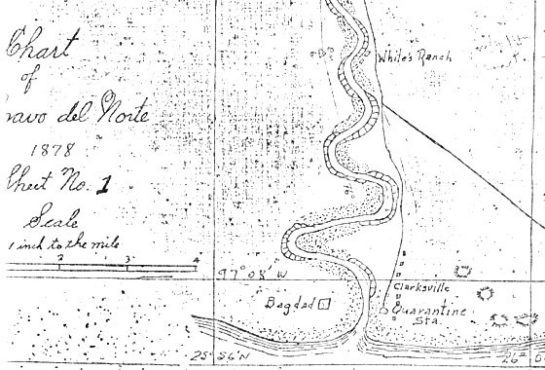
Figure 1 – 1878 Map of the mouth of the Rio Grande River showing Clarksville on the US side of the river and Bagdad on the Mexican side. The town was named for William H. Clark who ran a store and served as a steamship agent. (Source: McCaleb Files at The University of Texas Rio Grande Valley, Special Collections https://www.utrgv.edu/civilwar-trail/_files/images/civil-war-trail/clarksville/clarksville-map.jpg).

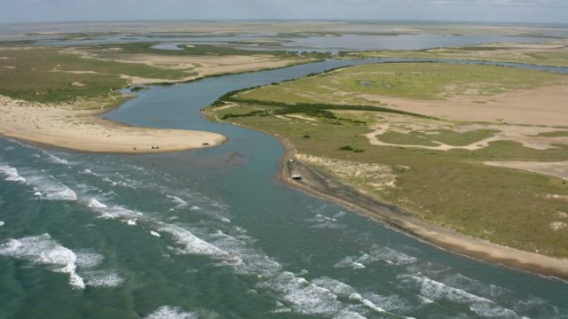
Figure 2 – A recent photograph of the mouth of the Rio Grande near Port Isabel in Cameron County, Texas. Clarksville, the site of the customhouse murders, was buried in the river’s mud flats when it changed course in 1953. (Source: USA Today https://www.usatoday.com/border-wall/story/flight-over-entire-us-mexico-border-fence/605855001/).

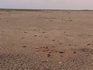
Figure 3 – All that remains of the townsite of Clarksville, Texas where two U.S. Customs Offices were murdered in 1868. The valor and sacrifice of U.S. Customs Officers George T. Hammond and William H. Phelps cannot be washed away and will never be forgotten by their fellow officers. (Source: South Padre TV https://southpadretv.tv/clarksville-the-lost-city-of-the-rio-grande-825/).
